Clarksville trails: the paved 9-mile Greenway and its five trailheads, the 1-mile Cumberland Riverwalk, Dunbar Cave, Rotary Park and mountain bike trails.
Last checked Oct. 17, 2026. Facts on this page come from Clarksville Parks and Recreation’s Greenway page and park pages, Visit Clarksville’s Greenway page, Montgomery County’s Rotary Park page and Tennessee State Parks’ Dunbar Cave page.
Clarksville’s backbone trail is the Clarksville Greenway, which Visit Clarksville describes as a 9-mile, fully paved trail on an old railway, running north and south of the Red River. Downtown, the Cumberland Riverwalk at McGregor Park adds a 1-mile paved walk along the river. For dirt and woods, head to Dunbar Cave State Park and Rotary Park. City parks and trails are open dawn to dusk. Clarksville Parks and Recreation: 931-645-7476.
What this means for you
- Most parking: Heritage Park trailhead, 1241 Peachers Mill Road.
- Flat and family-friendly: McGregor Park riverwalk and the neighborhood park loops below.
- Steepest bit: the big hills south of Pollard Road; the city asks cyclists to walk them.
- Wet weather: leave the Greenway in heavy rain; Dunbar Cave’s Lake Trail can flood.
Clarksville Greenway
| Trailhead | Address |
|---|---|
| Heritage Park (most parking) | 1241 Peachers Mill Road |
| Pollard Road | 1101 Pollard Road |
| Mary’s Oak | 329 Marys Oak Drive |
| Red River | 820 Kraft St. |
| McGregor Park | 640 N. Riverside Drive |
The Greenway passes creeks, bluffs, native wildflowers and woods. Its signature feature is the Raymond C. Hand Pass, a 600-foot pedestrian bridge. Restrooms, benches and resting areas are at several trailheads. The city’s Greenway map shows the full route. The city also lists a planned Red River Pedestrian Bridge to connect the Greenway to the Riverwalk.
Rules from the city’s Greenway page:
- Keep right, pass on the left; cyclists and skaters yield to pedestrians and give an audible signal.
- Speed limit 15 mph, enforced by radar.
- Pets on a leash; clean up after them.
- Park only in designated spaces; never on roadways, the grass or in front of homes.
- No motorized vehicles or scooters (mobility devices allowed), no horses, no camping or fires.
- Leave the trail in heavy rain, snow or storms.
Downtown: Riverwalk and Upland Trail
- Cumberland Riverwalk at McGregor Park, 640 N. Riverside Drive: a 1-mile walking trail along the Cumberland River, with restrooms, an ADA-accessible playground and the As the River Flows museum (McGregor Park).
- Upland Trail: a downtown path from the riverwalk, past historic buildings and over an old railroad bridge, to an overlook bridge at the north end of Valleybrook Park, 213 Crossland Ave. (Upland Trail).
Dunbar Cave State Park
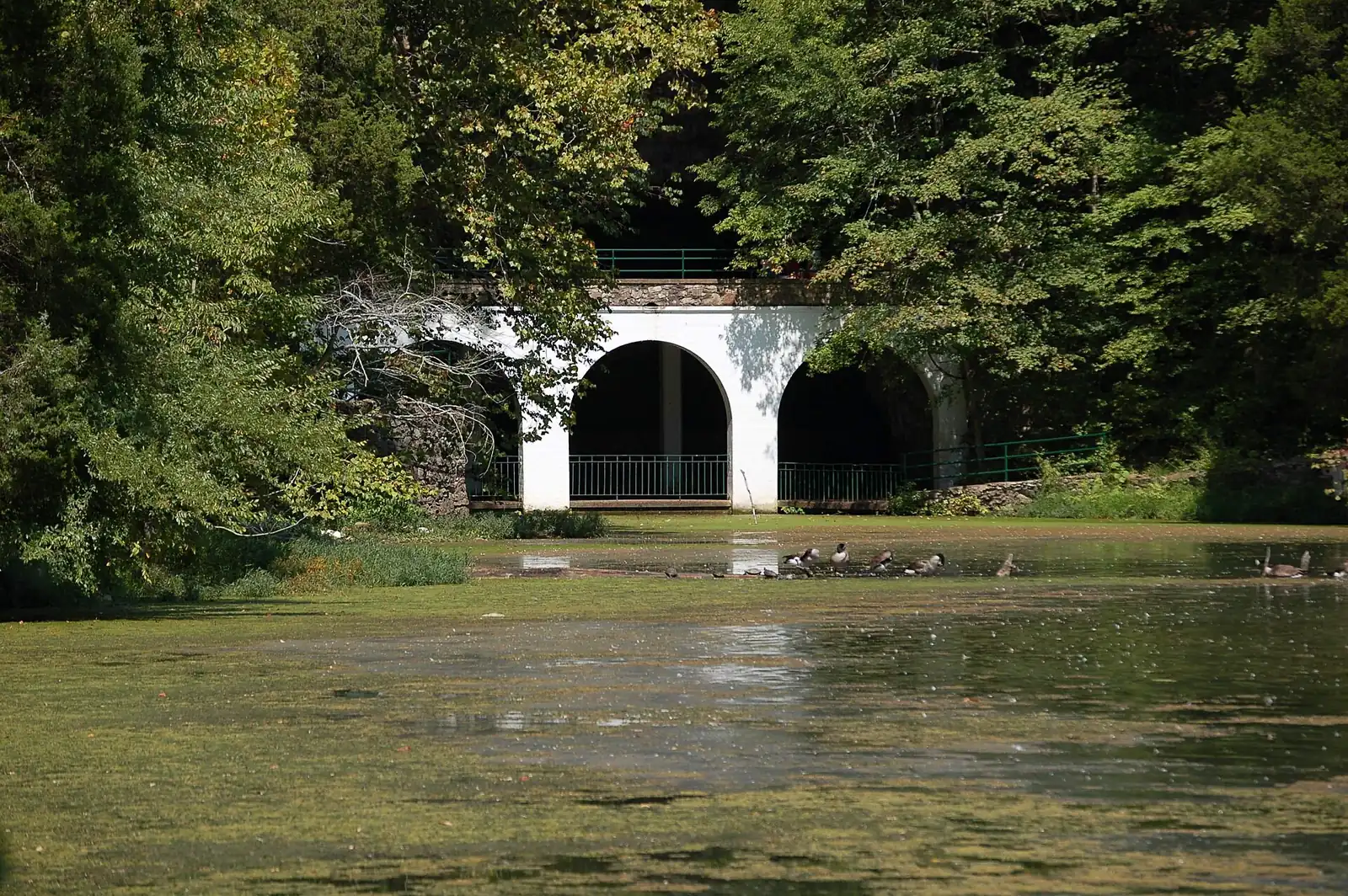
401 Old Dunbar Cave Road. Trails wind through woods, prairie and wetland around the cave. The Lake Trail circles Swan Lake into hilly mixed woods and is good for birding in spring and fall; it may flood in heavy rain. The park also has wheelchair-friendly paved trails. Stay on the trails. Visitor center: 8 a.m. to 4:30 p.m. daily; 931-648-5526 (Tennessee State Parks).
Rotary Park
2308 Rotary Park Drive (Montgomery County). 111 acres and eight trails, including a paved ADA trail and a mountain bike trail, plus playgrounds, a creek and the Wade Bourne Nature Center. Visit Clarksville says wooded hikes of 2 to 5 miles are most popular at Dunbar Cave and Rotary Park. County parks: 931-648-5732.
Mountain biking and paddling
- North Ford Street Mountain Bike Trail Park, 2470 N. Ford St.: city mountain bike trails, open dawn to dusk (park page).
- Robert Clark Park, 1449 Tiny Town Road: the first stop on Clarksville’s Blueway, with canoe and kayak access to the West Fork Red River (park page).
Short loops in neighborhood parks
| Park | Address | Loop |
|---|---|---|
| Bel-Aire Park | 124 Marie Drive | 0.5-mile walking trail |
| Ashton Park | 3270 N. Senseney Circle | Quarter-mile trail (four laps make a mile) |
| Coy Lacy Park | 105 Canterbury Road | Quarter-mile trail |
| Valleybrook Park | 213 Crossland Ave. | Quarter-mile trail |
| Barbara E. Johnson Park | 240 Outlaw Field Road | Walking trail |
| Liberty Park | 1188 Cumberland Drive | Walking trail by the fishing pond |
More: parks and trails, dog-friendly Clarksville and getting around.
Frequently asked questions
How long is the Clarksville Greenway?
Visit Clarksville describes it as a 9-mile, fully paved trail built on an abandoned railway. It runs north and south of the Red River, with trailheads at Heritage Park, Pollard Road, Mary’s Oak, Kraft Street and McGregor Park.
Where do I park for the Clarksville Greenway?
Heritage Park, 1241 Peachers Mill Road, has the most parking. Other trailheads are at 1101 Pollard Road, 329 Marys Oak Drive, 820 Kraft St. (Red River) and McGregor Park, 640 N. Riverside Drive. Park only in marked spaces.
Can you ride a bike on the Clarksville Greenway?
Yes. Cyclists must yield to pedestrians, give an audible signal when passing and keep to 15 mph. The city asks riders to walk their bikes on the large hills south of the Pollard Road trailhead.
Are there mountain bike trails in Clarksville?
Yes. The city’s North Ford Street Mountain Bike Trail Park is at 2470 N. Ford St., and Montgomery County’s Rotary Park has a mountain bike trail among its eight trails.
Have your say