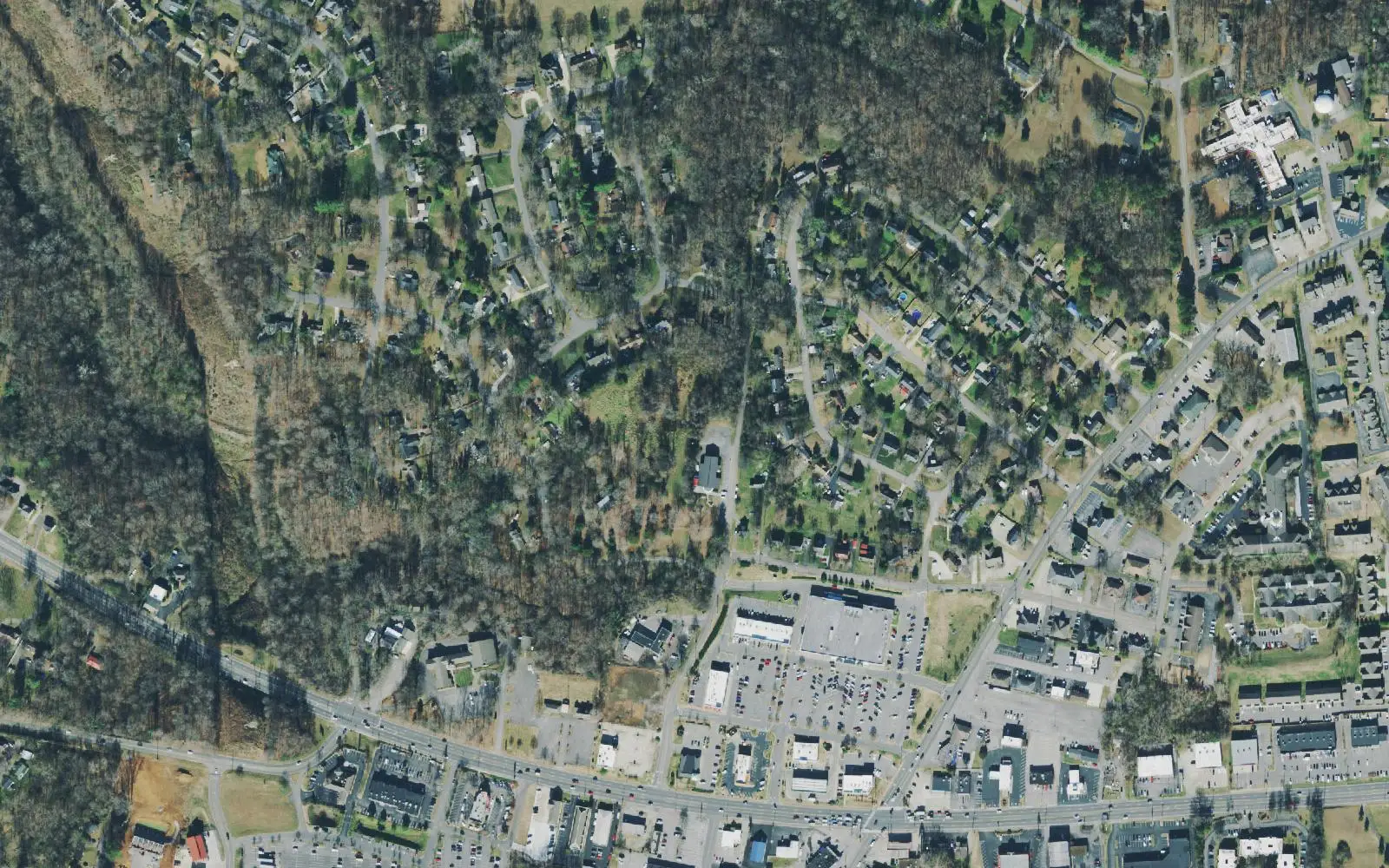
Hilldale, east of downtown on Madison Street, is split between the Clarksville High and Rossview High zones. ZIP 37043 was $398,124 in September 2026.
Last checked Oct. 17, 2026. Sources: the Clarksville-Montgomery County Comprehensive Plan (PDF), Hilldale planning area; the CMCSS 2026-27 middle and high school zone map (PDF); the Tennessee Department of Education’s 2024-25 A-F letter grade file; the federal NCES school directory; the Zillow Home Value Index (Zillow Research); and OpenStreetMap (© OpenStreetMap contributors).
Hilldale is the east side of the old city, strung along Madison Street (U.S. 41A) between downtown and Richview Road. The county’s Comprehensive Plan says it has the most potential for walkability of any area outside downtown, with homes close to shops, and good transit access along Memorial Drive and Madison Street and in the neighborhoods around Golf Club Lane and Paradise Hill. It also says the width of Madison Street, and its lack of crosswalks, pedestrian signals and good sidewalks, make getting around on foot or by bus hard.
What this means for you
- Zoned high school: split. Clarksville High, 151 Richview Road (2024-25 state letter grade: B), in the south; Rossview High, 1237 Rossview Road (A), in the north.
- Home value: $398,124 in ZIP code 37043 in September 2026, according to the Zillow Home Value Index.
- Nearest I-24 exits: Exit 8 (State Route 237, Rossview Road) and Exit 11 (State Route 76), each about 5 miles away in a straight line.
Part of our Clarksville neighborhoods guide.
Where it is
The plan’s boundaries are the Red River to the north, the Cumberland River and Ashland City Road to the south and Richview Road to the east; on the west it meets Downtown. Its main roads are Madison Street, Memorial Drive, Golf Club Lane and Crossland Avenue. An Urban Design Overlay sets rules for streetscape, landscaping and site layout along Madison Street. Most of the area is in ZIP code 37043, with a small western part in 37040.
Landmarks the plan’s map shows in the area:
- Clarksville Country Club and Mason Rudolph Golf Course
- Tradewinds South Shopping Center
- Coy Lacy Park and Kings and Queens Bluff on the Cumberland
- An “urban wilderness” park and trailhead the plan proposes on open land by the river
The plan’s list includes redeveloping aging big-box centers into walkable neighborhood centers with homes, denser infill along the 41A corridor to support transit, gateway work at Madison Street and Crossland Avenue, a review of the Madison Street overlay, and screening between homes and the industrial and commercial land on Madison Street.
Schools
We read the district’s 2026-27 middle and high school zone map at 47 points across the area. The line runs east-west a little north of Madison Street. The 28 points in the south were in the Clarksville High and Richview Middle zone; the 19 in the north, toward the Red River, were in the Rossview High and Rossview Middle zone. Grades are from the state’s 2024-25 A-F letter grades:
| Level | School | Address | 2024-25 grade |
|---|---|---|---|
| Middle | Richview Middle (south) | 2350 Memorial Drive | B |
| High | Clarksville High (south) | 151 Richview Road | B |
| Middle | Rossview Middle (north) | 2265 Cardinal Lane | A |
| High | Rossview High (north) | 1237 Rossview Road | A |
Elementary schools inside the area, from the federal NCES directory: Barksdale Elementary, 1920 Madison St. (pre-K to 5; 2024-25 grade C), which shares its building with the Spanish Immersion @ Barksdale program (B). The elementary zone for a street is on the district’s elementary zone map (PDF). Check one address in the bus and zoning lookup and see full results on the Tennessee State Report Card. More in our schools guide.
Home values
Zillow’s typical home value for ZIP code 37043 was $398,124 in September 2026, up 0.9% from $394,461 a year earlier, the highest of the city’s three main ZIP codes; the city figure was $317,914. The index is a modeled value for a typical mid-priced home, not a sale price, and Zillow does not publish it below the ZIP code level. 37043 also covers Sango and part of St. Bethlehem. More in home prices.
Parks and trails
From OpenStreetMap and the plan:
- Coy Lacy Park
- Kings and Queens Bluff on the Cumberland River, where the plan wants better access
- Mason Rudolph Golf Course
- The plan’s proposed urban wilderness park and trailhead, with river access
The plan also asks for multi-use paths linking neighborhoods to these places and for more park space near the established neighborhoods. More in parks and trails.
Getting around
- Main roads: Madison Street (U.S. 41A), Memorial Drive, Golf Club Lane and Crossland Avenue.
- Interstate: I-24 is about 5 miles away in a straight line; Exit 8 (State Route 237, Rossview Road) and Exit 11 (State Route 76) are closest. Exit names are from OpenStreetMap.
- Distances by road from 1771 Madison St., measured on OpenStreetMap’s road network: about 3.2 miles to Public Square downtown and about 53 miles to Nashville International Airport. These are distances, not drive times.
- Buses: the plan notes transit along Madison Street and Memorial Drive. Routes and live buses are on the CTS route map.
More in getting around.
Groceries and everyday stores
From OpenStreetMap:
- Kroger, 1489 Madison St.
- Publix, 1771 Madison St.
- A Walgreens pharmacy and a Dollar General Market in the east of the area, toward Richview Road
Related: Downtown, Sango, South Clarksville and property taxes.
Frequently asked questions
Where is Hilldale in Clarksville?
East of downtown. The county’s Comprehensive Plan bounds the Hilldale planning area by the Red River to the north, the Cumberland River and Ashland City Road to the south and Richview Road to the east, with Madison Street, Memorial Drive, Golf Club Lane and Crossland Avenue as its main roads.
What high school is Hilldale zoned for?
It is split. On the district’s 2026-27 zone map, 28 of 47 points we read, in the south around Madison Street, were in the Clarksville High zone; 19 in the north, toward the Red River, were in the Rossview High zone.
Is Hilldale a good place to live?
Here are the facts. Hilldale holds Coy Lacy Park, Kings and Queens Bluff and supermarkets on Madison Street; it is split between Clarksville High (B for 2024-25) and Rossview High (A); and the typical home value in ZIP 37043 was $398,124 in September 2026, according to Zillow.
What ZIP code is Hilldale?
Mostly 37043, with a small western part in 37040. Zillow’s typical home value for 37043 was $398,124 in September 2026, up 0.9% on the year.
Have your say