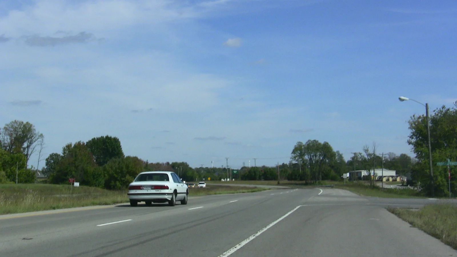
Sango, around I-24 Exit 11 and Madison Street, is split between the Clarksville and Rossview High zones. ZIP 37043 was $398,124 in September 2026.
Last checked Oct. 17, 2026. Sources: the Clarksville-Montgomery County Comprehensive Plan (PDF), Sango planning area; the CMCSS 2026-27 middle and high school zone map (PDF); the Tennessee Department of Education’s 2024-25 A-F letter grade file; the federal NCES school directory; the Zillow Home Value Index (Zillow Research); Montgomery County Parks and Recreation’s Rotary Park page; and OpenStreetMap (© OpenStreetMap contributors).
Sango is Clarksville’s southeast gateway, where Interstate 24 Exit 11 meets State Route 76 and Madison Street (U.S. 41A) heads out toward Nashville. The county’s Comprehensive Plan calls Exit 11 the area’s important node and notes that Madison Street and Ashland City Road (State Route 12) both work as alternate routes to Nashville. New strip commercial and residential growth has been spreading along 41A into the county, the plan says. About half of the planning area is inside the city limits; the rest is unincorporated Montgomery County.
What this means for you
- Zoned high school: mostly Clarksville High, 151 Richview Road (2024-25 state letter grade: B); the north is in the Rossview High zone (A), and the Exit 11 area in the Kirkwood High zone (A).
- Home value: $398,124 in ZIP code 37043 in September 2026, according to the Zillow Home Value Index.
- Nearest I-24 exit: Exit 11 (State Route 76), in the area.
Part of our Clarksville neighborhoods guide.
Where it is
The plan’s boundaries are the Red River and Passenger Creek to the north, Richview Road and the Cumberland River to the west, and McAdoo Creek and the county’s census tracts to the south and east. Floodplain runs along the creeks and rivers on its edges. The main roads are Madison Street (U.S. 41A), State Route 76, Warfield Boulevard, Richview Road and Sango Road. The part inside the city is in ZIP code 37043.
The plan’s list for the area:
- New access points into Rotary Park from nearby neighborhoods, and developing the park property at Exit 11
- Gateway work at Madison Street and I-24 and at MLK Parkway/State Route 76
- Bike lanes along Madison Street
- Widening Warfield Boulevard and Richview Road to 41A, and the Memorial Drive extension and Old Farmers Road
- Turning strip and big-box centers into walkable nodes with homes, and limiting more strip commercial
- Limiting density where fire and EMS response is thin, and protecting floodplains, caves and creek corridors
Schools
We read the district’s 2026-27 middle and high school zone map at 67 points across the part of Sango inside the city:
- Clarksville High and Richview Middle: 37 points, the south and west
- Rossview High and Rossview Middle: 24 points, the north, toward the Red River
- Kirkwood High and Kirkwood Middle: five points, east of Exit 11
- Montgomery Central: one point at the southwest corner
Grades are from the state’s 2024-25 A-F letter grades:
| High school | Address | 2024-25 grade | Middle school | Grade |
|---|---|---|---|---|
| Clarksville High | 151 Richview Road | B | Richview Middle, 2350 Memorial Drive | B |
| Rossview High | 1237 Rossview Road | A | Rossview Middle, 2265 Cardinal Lane | A |
| Kirkwood High | 2702 Rossview Road | A | Kirkwood Middle, 2700 Rossview Road | A |
On the state’s components, Clarksville High earned an A for achievement, a C for growth and for growth among its lowest-scoring students, and a B for college and career readiness. Clarksville High and Richview Middle are both in the planning area. So are two elementary schools, from the federal NCES directory: East Montgomery Elementary, 230 McAdoo Creek Road (pre-K to 5; 2024-25 grade C), and Sango Elementary, 3585 Sango Road (K to 5; A), which is outside the city limits. The elementary zone for a street is on the district’s elementary zone map (PDF). Check one address in the bus and zoning lookup and see full results on the Tennessee State Report Card. More in our schools guide.
Home values
Zillow’s typical home value for ZIP code 37043 was $398,124 in September 2026, up 0.9% from $394,461 a year earlier, the highest of the city’s three main ZIP codes; the city figure was $317,914. The index is a modeled value for a typical mid-priced home, not a sale price, and Zillow does not publish it below the ZIP code level. 37043 also covers Hilldale and part of St. Bethlehem. More in home prices.
Parks and trails
- Rotary Park, 2308 Rotary Park Drive: a 111-acre Montgomery County nature park with eight trails and a nature center.
- The plan names Resthaven Memorial Garden, a cemetery, and a future park at Exit 11.
More in parks and trails.
Getting around
- Main roads: Madison Street (U.S. 41A), State Route 76, Warfield Boulevard and Richview Road.
- Interstate: Exit 11 (State Route 76) is in the area. Exit names are from OpenStreetMap.
- Distances by road from 920 Highway 76, measured on OpenStreetMap’s road network: about 8.4 miles to Public Square downtown and about 48 miles to Nashville International Airport, the shortest airport trip of any area in this guide. These are distances, not drive times.
- Buses: the plan says Sango has minimal transit, from CTS routes 5 and 6. Route 5 links the Walmart at U.S. 41A and State Route 76 with Riverside Drive; route 6 ends at the Transit Center downtown. Check the CTS route map for current routes.
More in getting around.
Groceries and everyday stores
From OpenStreetMap:
- Publix, 920 Highway 76
- Walmart Supercenter, 2315 Madison St.
Related: Hilldale, St. Bethlehem and property taxes.
Frequently asked questions
Where is Sango in Clarksville?
On the southeast side. The county’s Comprehensive Plan bounds the Sango planning area by the Red River and Passenger Creek to the north, Richview Road and the Cumberland River to the west and McAdoo Creek to the south, with I-24 Exit 11 as its main node. About half of it is inside the city limits.
What high school is Sango zoned for?
It is split. On the district’s 2026-27 zone map, 37 of the 67 points we read inside the city were in the Clarksville High zone, 24 in the north were in the Rossview High zone and five near Exit 11 were in the Kirkwood High zone.
Is Sango a good place to live?
Here are the facts. Sango holds Rotary Park, Clarksville High and two supermarkets near Exit 11 and Madison Street; most of it is zoned for Clarksville High, graded B for 2024-25; and the typical home value in ZIP 37043 was $398,124 in September 2026, according to Zillow.
Is Sango in the city of Clarksville?
Partly. About half of the Sango planning area lies inside the city limits, around Exit 11, State Route 76 and Madison Street; the rest, including Sango Elementary on Sango Road, is unincorporated Montgomery County.
Have your say