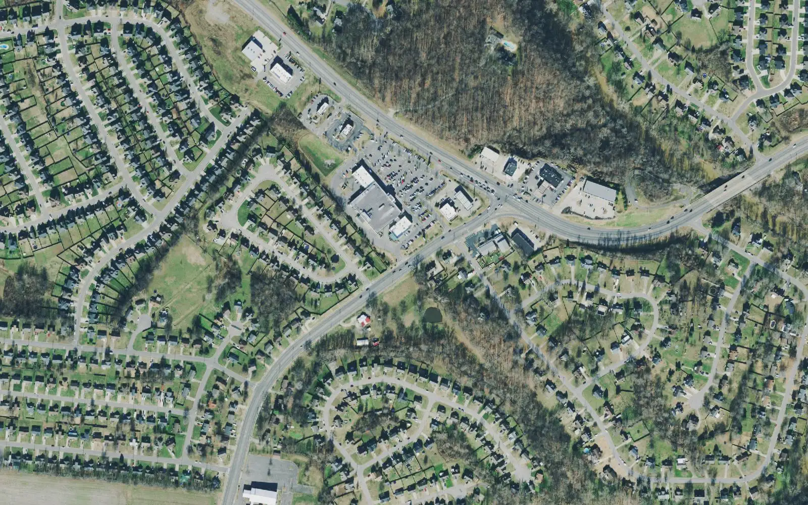
North Clarksville, from the Red River to the Kentucky line, is split among four high school zones. ZIP 37042 was $290,703 in September 2026.
Last checked Oct. 17, 2026. Sources: the Clarksville-Montgomery County Comprehensive Plan (PDF), North Clarksville planning area; the CMCSS 2026-27 middle and high school zone map (PDF); the Tennessee Department of Education’s 2024-25 A-F letter grade file; the federal NCES school directory; the Zillow Home Value Index (Zillow Research); and OpenStreetMap (© OpenStreetMap contributors).
North Clarksville is everything in the city north of the Red River and its forks, up to the Kentucky line, and it is the largest of the eight areas in this guide. The county’s Comprehensive Plan describes a mix of residential neighborhoods, parks and open space, with commercial development along the main corridors: Tiny Town Road, Trenton Road (State Route 48), Needmore Road and the north end of Fort Campbell Boulevard. It sits next to Fort Campbell, and the plan says growth along Fort Campbell Boulevard has to be worked out with the post. The plan also lists the Tiny Town Road and Trenton Road corridors among the parts of the county where many homes are not within a park’s service area.
What this means for you
- Zoned high school: depends on the street. Northeast High, 3701 Trenton Road (2024-25 state letter grade: B), in the middle; West Creek High, 1210 W. Creek Coyote Trail (B), in the west; Kirkwood (A) in the east; Kenwood (D) on the south edge.
- Home value: $290,703 in ZIP code 37042 in September 2026, according to the Zillow Home Value Index.
- Nearest I-24 exit: Exit 1 (State Route 48, Trenton Road), about 3 miles from Tiny Town Road’s shops in a straight line.
Part of our Clarksville neighborhoods guide.
Where it is
The plan’s boundaries are the Kentucky state line to the north, Fort Campbell to the west, the Red River, Little West Fork and Spring Creek to the south and the Montgomery County line to the east. The Census Bureau’s ZIP code areas put about three quarters of the city’s part in 37042 and the eastern quarter in 37040. The Clarksville Regional Airport (Outlaw Field), 200 Airport Road, is in the area.
The plan’s list for the area:
- Finish the Needmore Road work from Tiny Town Road to the Whitfield Road roundabout, and extend Spring Creek Parkway down Hazelwood Road to Needmore Road
- Neighborhood work and a multi-use path on Tiny Town Road, both in progress when the plan was written, and pedestrian improvements in the future Trenton Road project
- Gateway work at Trenton Road and I-24 and at the Wings of Liberty Museum
- Infill and mixed use on Fort Campbell Boulevard that stays compatible with the post, and land use coordinated with Fort Campbell to protect Sabre Field
- Protecting Outlaw Field through land use planned with the airport, and a possible high-tech logistics park with the airport
- Paths along the Red River, and better river access at Billy Dunlop Park and Robert Clark Park
- A new electric substation to keep up with growth
Schools
We read the district’s 2026-27 middle and high school zone map at 159 points across the area:
- Northeast High and Northeast Middle: 67 points, the middle, around Trenton Road
- West Creek High and West Creek Middle: 56 points, the west, around Tiny Town Road
- Kirkwood High and Kirkwood Middle: 21 points, the east, toward Exit 1
- Kenwood High and Kenwood Middle: 15 points, the southwest edge
Grades are from the state’s 2024-25 A-F letter grades:
| High school | Address | 2024-25 grade | Middle school | Grade |
|---|---|---|---|---|
| Northeast High | 3701 Trenton Road | B | Northeast Middle, 3703 Trenton Road | D |
| West Creek High | 1210 W. Creek Coyote Trail | B | West Creek Middle, 1200 W. Creek Coyote Trail | B |
| Kirkwood High | 2702 Rossview Road | A | Kirkwood Middle, 2700 Rossview Road | A |
| Kenwood High | 251 E. Pine Mountain Road | D | Kenwood Middle, 241 E. Pine Mountain Road | B |
Elementary schools inside the area, from the federal NCES directory, with 2024-25 grades:
- Hazelwood Elementary, 2623 Tiny Town Road (A)
- Barkers Mill Elementary, 1230 Little Bobcat Lane (B)
- Northeast Elementary, 3705 Trenton Road (B)
- Oakland Elementary, 1050 Cherry Blossom Lane (B)
- Pisgah Elementary, 1770 Hazelwood Road (B)
- West Creek Elementary, 1201 W. Creek Coyote Trail (B)
The elementary zone for a street is on the district’s elementary zone map (PDF). Check one address in the bus and zoning lookup and see full results on the Tennessee State Report Card. More in our schools guide.
Home values
Zillow’s typical home value for ZIP code 37042 was $290,703 in September 2026, down 0.1% from $290,891 a year earlier, and for 37040 it was $304,511, up 0.6%; the city figure was $317,914. The index is a modeled value for a typical mid-priced home, not a sale price, and Zillow does not publish it below the ZIP code level. 37042 also covers Lafayette Peachers Mill and New Providence. More in home prices.
Parks and trails
From OpenStreetMap and the plan:
- Billy Dunlop Park, 1930 E. Boy Scout Road, on the Red River
- Robert Clark Park, also on the river
- The Oakland Recreation Area in the east
- Patriot Park, Burchwood Park, Sherwood Forest Park and Barbara E. Johnson Park in the west
More in parks and trails.
Getting around
- Main roads: Tiny Town Road, Trenton Road (State Route 48), Needmore Road, Hazelwood Road and Fort Campbell Boulevard.
- Interstate: Exit 1 (State Route 48, Trenton Road) is in the area’s east. Exit names are from OpenStreetMap.
- Distances by road from 1490 Tiny Town Road, measured on OpenStreetMap’s road network: about 7.8 miles to Public Square downtown and about 60 miles to Nashville International Airport. These are distances, not drive times.
- Buses: Clarksville Transit System routes run out from the Transit Center, 200 Legion St.; see the CTS route map for the stops nearest an address.
More in getting around.
Groceries and everyday stores
From OpenStreetMap:
- Publix, 1490 Tiny Town Road
- Walmart Neighborhood Market, 408 Tiny Town Road
- Piggly Wiggly, 3441 Fort Campbell Blvd.
- A Walgreens pharmacy near Trenton Road and Exit 1
Related: St. Bethlehem, Lafayette Peachers Mill and property taxes.
Frequently asked questions
Where is North Clarksville?
The county’s Comprehensive Plan bounds the North Clarksville planning area by the Kentucky line to the north, Fort Campbell to the west, the Red River, Little West Fork and Spring Creek to the south and the county line to the east. Tiny Town Road and Trenton Road are its main roads.
What high school is North Clarksville zoned for?
It is split four ways. On the district’s 2026-27 zone map, 67 of 159 points we read were in the Northeast High zone, 56 in the West Creek High zone, 21 in the Kirkwood High zone and 15 in the Kenwood High zone.
Is North Clarksville a good place to live?
Here are the facts. North Clarksville holds six elementary schools, Northeast and West Creek high schools, Billy Dunlop Park and the regional airport; it is split among four high school zones graded A to D for 2024-25; and the typical home value in ZIP 37042 was $290,703 in September 2026, according to Zillow.
What ZIP code is North Clarksville?
Mostly 37042, with the eastern part in 37040. Zillow’s typical home value in September 2026 was $290,703 in 37042 and $304,511 in 37040.
Have your say