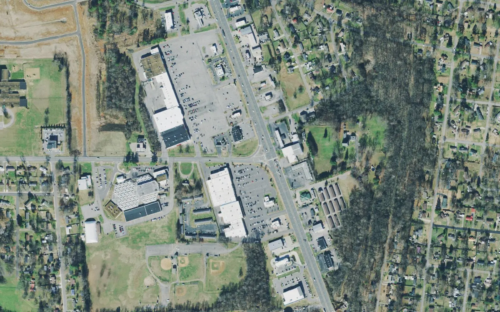
Lafayette Peachers Mill, on Fort Campbell Boulevard, is split between the Kenwood and Northwest High zones. ZIP 37042 was $290,703 in September 2026.
Last checked Oct. 17, 2026. Sources: the Clarksville-Montgomery County Comprehensive Plan (PDF), Lafayette Peachers Mill planning area; the CMCSS 2026-27 middle and high school zone map (PDF); the Tennessee Department of Education’s 2024-25 A-F letter grade file; the federal NCES school directory; the Zillow Home Value Index (Zillow Research); the city’s Clarksville Greenway page; and OpenStreetMap (© OpenStreetMap contributors).
Lafayette Peachers Mill is Clarksville’s west side, between Fort Campbell and the Little West Fork. The county’s Comprehensive Plan describes it as primarily residential, with extensive commercial development along Fort Campbell Boulevard (U.S. 41A). It asks for a more pedestrian-friendly area in what it calls a vehicular traffic-heavy corridor, with traffic calming, streetscaping and urban design. The plan also wants infill in neighborhoods with aging homes, a continued mix of affordable housing types and more parks.
What this means for you
- Zoned high school: split. Kenwood High, 251 E. Pine Mountain Road (2024-25 state letter grade: D), in the east; Northwest High, 800 Lafayette Road (B), in the west.
- Home value: $290,703 in ZIP code 37042 in September 2026, according to the Zillow Home Value Index.
- Nearest I-24 exit: Exit 1 (State Route 48, Trenton Road), about 6 miles away in a straight line.
Part of our Clarksville neighborhoods guide.
Where it is
The plan’s boundaries are Fort Campbell to the northwest, Dover Road to the south and the Little West Fork to the east. Fort Campbell Boulevard, Peachers Mill Road, Lafayette Road, Ringgold Road, Cunningham Lane and the 101st Airborne Division Parkway (State Route 374) are the main roads. About three quarters of the planning area is inside the city limits, all in ZIP code 37042.
The plan’s list for the area:
- Get the State Route 374, U.S. 79 and Liberty Church Road intersection ready for regional commercial development, and turn aging big-box centers into walkable centers with homes
- Safer crosswalks on Fort Campbell Boulevard, especially near Cunningham Lane
- Better bikeways and walkways on Ringgold Road and Lafayette Road
- Gateway work on State Route 374 and 41A
- Renovate and expand Ewing Burchett Park using city-owned land
- Address drainage where homes were built before drainage standards
- Limit encroachment around Fort Campbell and plan jointly with the Army to protect Sabre Field
Schools
We read the district’s 2026-27 middle and high school zone map at 92 points across the part of the area inside the city. The 52 points in the east, toward Peachers Mill Road, were in the Kenwood High and Kenwood Middle zone. The 40 in the west, toward Fort Campbell and Lafayette Road, were in the Northwest High and New Providence Middle zone. Grades are from the state’s 2024-25 A-F letter grades:
| Level | School | Address | 2024-25 grade |
|---|---|---|---|
| Middle | Kenwood Middle (east) | 241 E. Pine Mountain Road | B |
| High | Kenwood High (east) | 251 E. Pine Mountain Road | D |
| Middle | New Providence Middle (west) | 146 Cunningham Lane | C |
| High | Northwest High (west) | 800 Lafayette Road | B |
On the state’s components, Kenwood High earned a C for achievement, an F for growth, a C for growth among its lowest-scoring students and a D for college and career readiness, for an overall D. Northwest High earned a B for achievement, an A for both growth measures and a C for college and career readiness. All four schools are inside the area.
Elementary schools inside the area, from the federal NCES directory, with 2024-25 grades:
- Kenwood Elementary, 1101 Peachers Mill Road (B)
- Ringgold Elementary, 240 Ringgold Road (B)
- Minglewood Elementary, 215 Cunningham Lane (D)
The elementary zone for a street is on the district’s elementary zone map (PDF). Check one address in the bus and zoning lookup and see full results on the Tennessee State Report Card. More in our schools guide.
Home values
Zillow’s typical home value for ZIP code 37042 was $290,703 in September 2026, down 0.1% from $290,891 a year earlier, the lowest of the city’s three main ZIP codes; the city figure was $317,914. The index is a modeled value for a typical mid-priced home, not a sale price, and Zillow does not publish it below the ZIP code level. 37042 also covers most of North Clarksville and New Providence. More in home prices.
Parks and trails
- Heritage Park, 1241 Peachers Mill Road: the Clarksville Greenway trailhead with the most parking, plus a dog park, skate park, playground, basketball and a bike trail.
- Bel Air Park, 124 Marie Drive; Dalewood Park, 6 Dalewood Drive; and Burchett Park, 520 Roselawn Drive, which the plan wants expanded. Addresses are from OpenStreetMap.
More in parks and trails, walking and biking trails and dog-friendly places.
Getting around
- Main roads: Fort Campbell Boulevard (U.S. 41A), Peachers Mill Road, Lafayette Road and the 101st Airborne Division Parkway (State Route 374).
- Interstate: I-24 is about 6 miles away in a straight line; Exit 1 (State Route 48, Trenton Road) is closest. Exit names are from OpenStreetMap.
- Distances by road from 1680 Fort Campbell Blvd., measured on OpenStreetMap’s road network: about 5 miles to Public Square downtown and about 60 miles to Nashville International Airport. These are distances, not drive times.
- Buses: Clarksville Transit System routes run out from the Transit Center, 200 Legion St.; see the CTS route map for the stops nearest an address.
More in getting around.
Groceries and everyday stores
From OpenStreetMap, mostly on Fort Campbell Boulevard:
- Walmart Supercenter, with a pharmacy, 1680 Fort Campbell Blvd.
- ALDI, 1570 Fort Campbell Blvd.
- Kroger, 110 Dover Crossing Road
- Priceless IGA, 1151 Fort Campbell Blvd.
- Walgreens, 1460 Fort Campbell Blvd., and Harris Family Pharmacy, 1157 Fort Campbell Blvd.
- International markets: Mercado Chapalita, 1191D; La Mexicana Mercado y Taqueria, 1350; Mimi Asian Food Market, 1358A; Park It Market, 2054; and Dong Yang Oriental Market, 2060 Fort Campbell Blvd.
Related: New Providence, North Clarksville and property taxes.
Frequently asked questions
Where is Lafayette Peachers Mill in Clarksville?
On the west side. The county’s Comprehensive Plan bounds the Lafayette Peachers Mill planning area by Fort Campbell to the northwest, Dover Road to the south and the Little West Fork to the east, with Fort Campbell Boulevard running through it.
What high school is Lafayette Peachers Mill zoned for?
It is split. On the district’s 2026-27 zone map, 52 of 92 points we read, in the east toward Peachers Mill Road, were in the Kenwood High zone, and 40 in the west, toward Fort Campbell, were in the Northwest High zone.
Is Lafayette Peachers Mill a good place to live?
Here are the facts. The area holds Heritage Park, the Clarksville Greenway trailhead and about a dozen grocery stores and pharmacies on Fort Campbell Boulevard; it is split between Kenwood High (D for 2024-25) and Northwest High (B); and the typical home value in ZIP 37042 was $290,703 in September 2026, according to Zillow.
Where does the Clarksville Greenway start?
Its trailhead with the most parking is at Heritage Park, 1241 Peachers Mill Road, in the Lafayette Peachers Mill area.
Have your say